Sectors27 May 2026· 5 min
Gaïa: anticipating environmental risks
Natural-risk prediction models, heatmaps and alerting for authorities and natural-space managers.
Gaïa serves authorities and natural-space managers who need to anticipate environmental risks, not merely observe them after the fact.
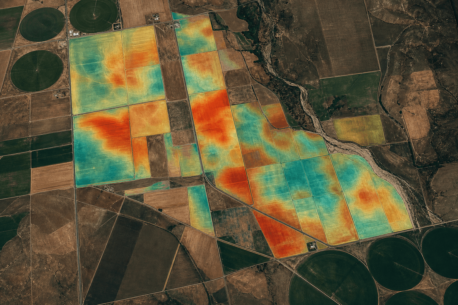
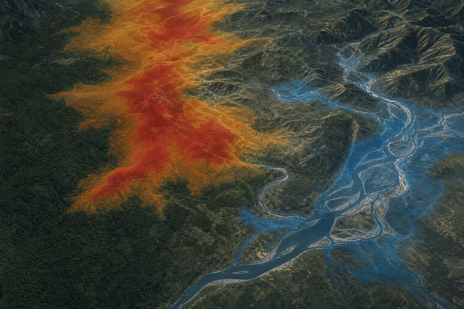
At the core of the product: our natural-risk prediction models. They combine imagery, time series and territorial dynamics to estimate how hazards evolve (wildfire, flood, pressure on cover) and prioritise attention zones before they tip.
Heatmaps and alerting complete this predictive reading so analysts and decision-makers share a continuous view. Like Terra and Voltis, Gaïa builds on the ANEMONE data pipeline, with a focus on predicting natural hazards and territorial-dynamics indicators.